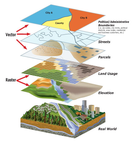
1st Workshop: Introduction to Geographic Information Systems (GIS) for Geoscientists
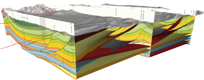
2nd Workshop: Introduction to Structural Mapping Techniques
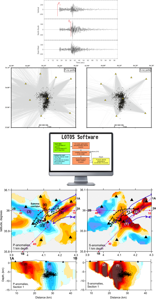
3rd Workshop: Local Seismic Tomography
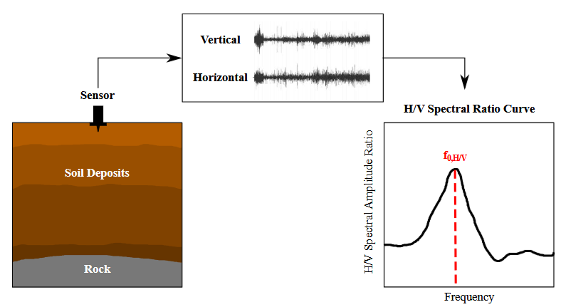
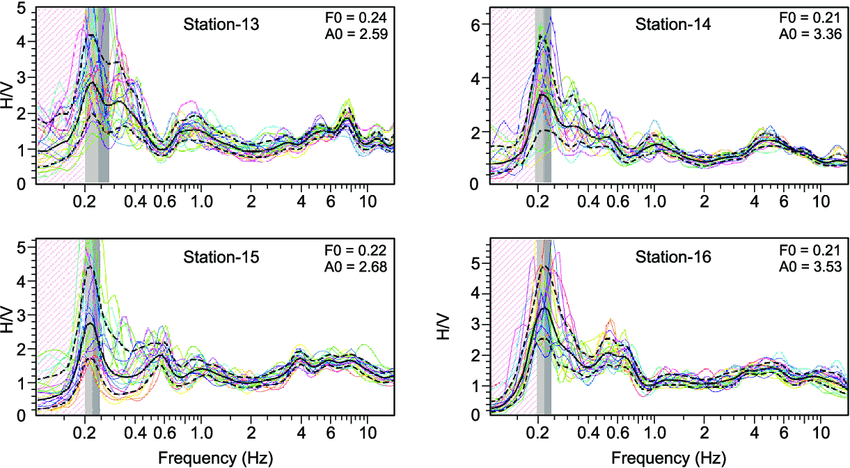
4 Workshop: Using Ambient Vibration Techniques for Site Characterization
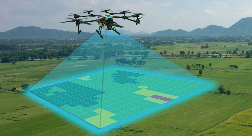
5th Workshop: Drone Image Analysis Software Training